After more than 20 years exploring places like Kruger National Park, we grew frustrated with mapping and wildlife-sighting apps that just didn’t get it right. Roads were mislabeled—what everyone calls the “Crocodile Bridge Road” appears on most maps, yet park signage and guidebooks refer to it as the S25. In remote areas without cell signal, in-app navigation often failed when we needed it most.
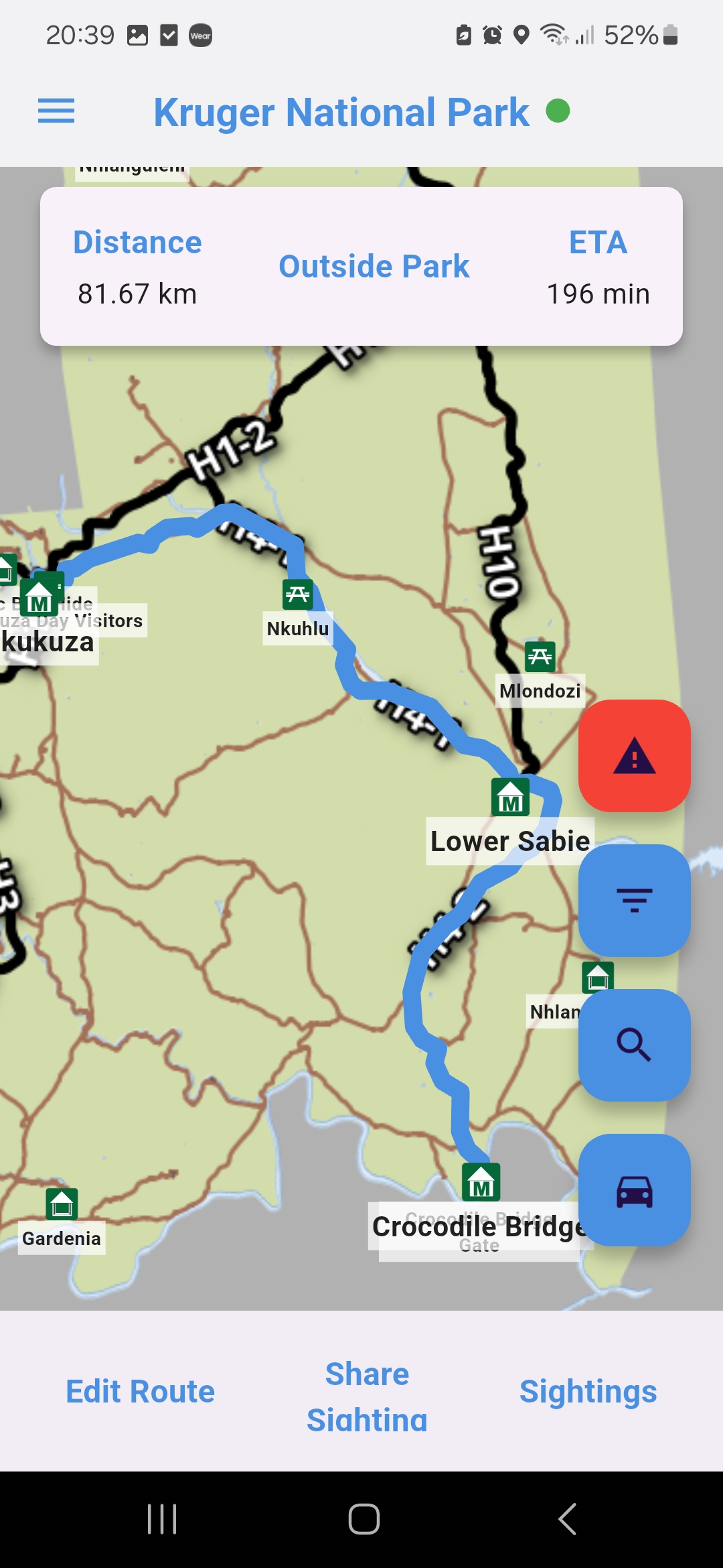
So we set out to build our own: a fully offline map powered by accurate road names, clearly marked points of interest, and robust GPS navigation that never drops you—even beyond the reach of mobile towers. But we didn’t stop there. We knew every visitor to Kruger (and beyond) carries a field guide to mark off wildlife sightings, so we integrated a digital spotting book right into the app:
- 100+ Bird Species & All Major Mammals
- Instant Identification with photos and key facts
- Personal Sightings Log to mark what—and where—you’ve spotted
- Community Sharing so fellow adventurers can discover your latest find
Now, whether you’re driving the S25 at sunrise or tracking a herd on foot, Wild Maps Africa puts precise, offline navigation and wildlife discovery in the palm of your hand—so you can focus on the adventure, not the app.